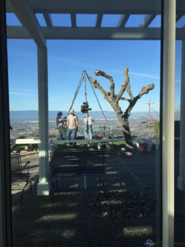
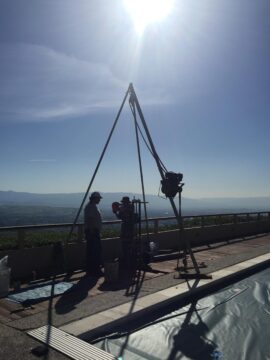
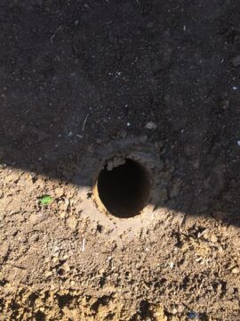
As part of the great wall project, we had geologists on hand a few weeks back to complete soil studies. They did three bores: one outside the great room, one at the observation deck–where they actually flipped the decking out of the way so they could reach bare earth–and one through the decking next to the pool.
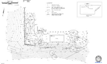
The purpose of all this is to determine soil compositions. A few months back, we had surveyors out to create updated maps of the property. Now we have an updated topography map that, when compared with the ones from when the house was built in the mid-1960s, shows we’ve had only about a half-inch of movement since that time. That’s really good news.
The new topography maps and accurate soil information will allow us to plan and engineer the new wall. This is critical, as where we live, any wall over four feet in height requires permitting, and our very large wall is technically over that height once it reaches the southwest corner and continues along the south side.
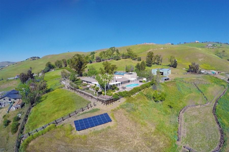
The image below gives you a good idea of what we’re dealing with. This is a drone view from the southwest. The wall on the left, or west-facing section, is constructed mainly of railroad ties, while the south-facing portion (hidden by the oleander) is or was actually engineered kinda/sorta when the house was built. (Side note–you can just make out the observation deck, as it’s where the crooked flagpole at the corner point is; thankfully we found out the flagpole has been crooked since the Doc put it in.) We knew when we bought Purgatory that we would need to address the wall, and while it’s not as dire a situation as originally feared, it’s one of those things that sorting out now, rather than in five or six years, is a wise move.
